On 22 June, the Raikoke volcano in the Pacific Ocean erupted for the first time since 1924. The volcano is located in the Kuril Islands off the coast of Russia, just north of Japan.
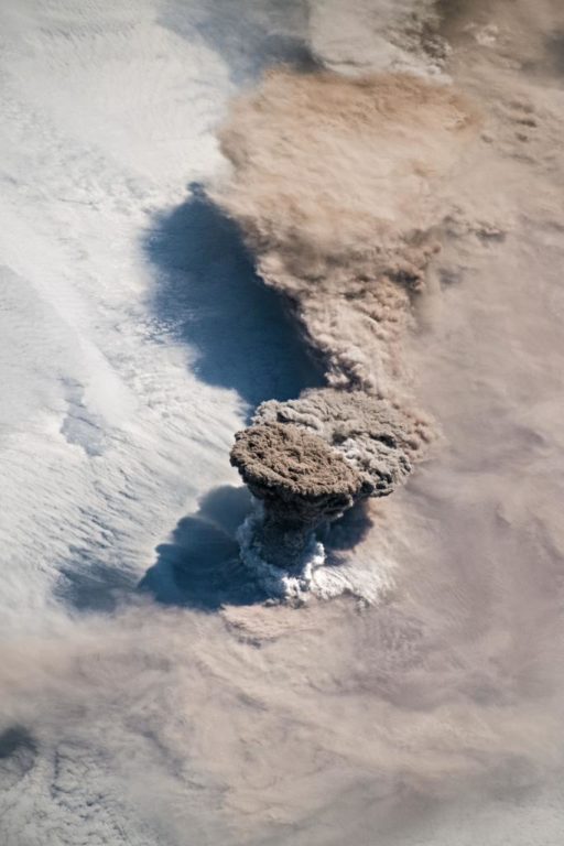
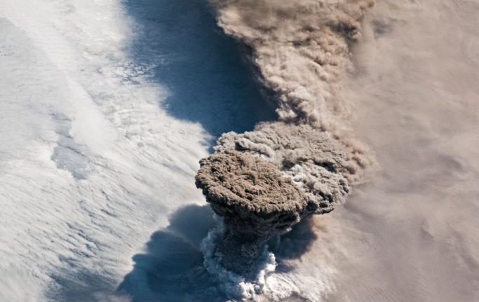
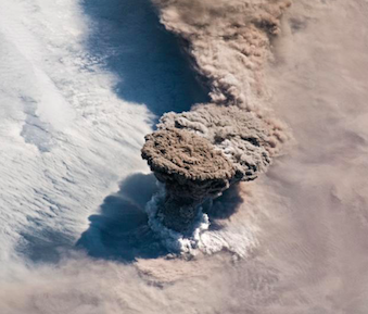
According to a statement made by NASA, a gigantic plume of ash and volcanic gasses shot up from the 700m-wide crater. Astronauts on the International Space Station watched and photographed the spectacle. The volcanic plume rose in a narrow column and then spread out in a part of the plume known as the umbrella region.
NASA’s statement said the Tokyo and Anchorage Volcanic Ash Advisory Centers closely tracked the plume to determine the altitude of the ash, which reached 13km.
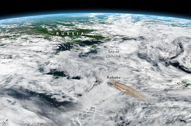
The CALIPSO satellite’s data indicated that parts of the plume may have reached 17km in height.
In addition to tracking ash, satellite sensors can also track the movements of volcanic gases.
Raikoke produced a concentrated plume of sulfur dioxide (SO2) that separated from the ash and swirled throughout the North Pacific as the plume interacted with a storm.
According to Simon Carn, a volcanologist at Michigan Tech, ‘radiosonde data from the region indicate a tropopause altitude of about 11km, so altitudes of 13 to 17km suggest that the eruption cloud is mostly in the stratosphere. The persistence of large SO2 amounts over the last two days also indicates stratospheric injection.”
According to NASA, volcanologists closely monitor plumes that reach the stratosphere. This is because these plumes tend to remain aloft for much longer than the plumes that reach the troposphere and have a bigger impact on the climate and on aviation.
Astronauts aboard the @Space_Station photographed a spectacular plume of ash rising from the Raikoke volcano in the Kuril islands near Asia on June 22. Monitoring volcanic eruptions helps us understand how they affect aviation and climate. More: https://t.co/uHWsGcv9i6 pic.twitter.com/Wf4rAjH9cG
— NASA (@NASA) June 26, 2019
Image: Twitter @NASA


