Welcome back, fellow traveller! In our last missive, we journeyed along the Forgotten Highway and got a real sense of its importance in South Africa’s history. Stretching over 1,000 kilometres from Tulbagh to Kuruman, this route wasn’t just a road but a meeting point for traders, missionaries, and indigenous tribes in the late 1800s.
We explored towns like Tulbagh, Ceres, and Fraserburg, where heritage sites and conservation efforts keep history alive. The stunning landscapes pulled us in, each place with its own story waiting to be discovered.
Now, let’s gear up for the next part of our journey! We’re heading further into South Africa’s hinterlands, tracing the path of William Sommerville, William Burchell, and other intrepid explorers. What’s ahead for us?
Day 6: Fraserburg to Loxton
The original Forgotten Highway didn’t even pass through Loxton. In fact, this small village didn’t make it onto the map until 1900. The route used to connect Fraserburg and Carnarvon, founded in 1853. Imagine the early trekkers tackling those rough tracks — long, lonely, and risky, with nothing but the vast plains around them.
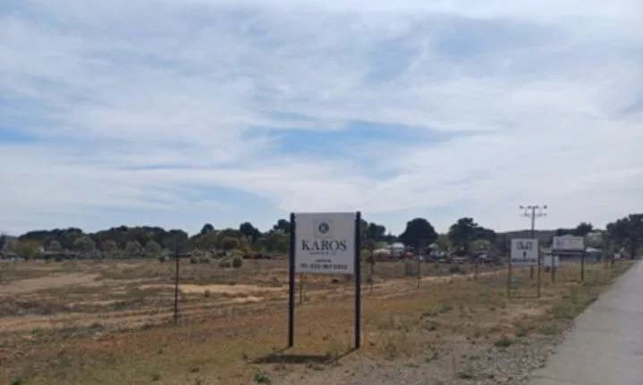
The road from Fraserburg, entering Loxton
Loxton was established in 1899 when a new Dutch Reformed parish was created on the farm Phezantefontein. The landowner, A.E. Loxton, gave £50 to help build the church, turning the village into reality. Now that’s putting your money where your heart is!
- Founding Day: The first church council was elected on July 12, 1899, the same day the village was established.
- Water Supply: The eastern side of the village was blessed with an abundant water supply, allowing irrigation. This made land plots extremely valuable to the founding residents!
- First Church and School: By April 1900, the first church was operational. The first school opened later that year, on the 13th of October 1900, with 40 eager students.
The village has seen its share of challenges. A dam was built in 1912, with a hand pump to supply water for livestock. But in 1961, heavy rains caused the dam wall to collapse, damaging many buildings. Despite this, the village bounced back, with eleven new homes built after the disaster.
Today, remnants of the past remain. The old farm stable is still standing and now forms part of a decommissioned power plant. Be sure to check out the “kothuisie” on Church Street—it’s the last one left after floods wiped out the others.
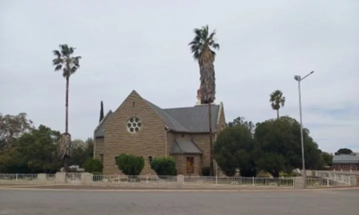
Fast forward to 1924, and you’ll find the impressive Loxton Dutch Reformed Church standing proudly in the village centre.
We headed to Loxton Lekker, a cosy little place. The owner, Manie Esterhuysen, welcomed us and shared how the spot became so popular. Over a tasty brunch, we chatted about the day’s plans and soaked in the charm of Loxton. Of course, we had to grab a little keepsake from our visit.
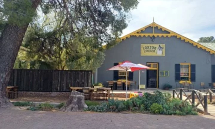
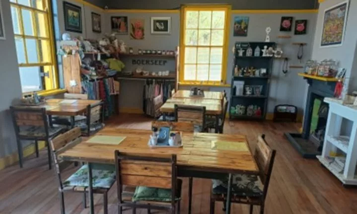
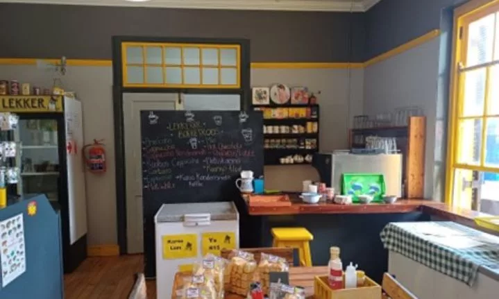
Loxton Lekker
As the sun began to set, we settled in for a lively evening with the locals, enjoying endless pizza and cold beers. We shared laughs and reflected on the distance we’d travelled and the town’s history.
Things didn’t all go smoothly though — my beloved car, “Sharon”, rolled along the sandy banks of the Fraserburg-Loxton road. Unplanned moments happen, and they just add to the adventurous edge of travelling into the unknown.
70-80km/hour is probably the maximum speed to drive on dirt roads, as the road surface is always insecure. Rather safe than sorry!
Loxton, with its welcoming community, rich past, and creative vibe, quickly wins you over. It may not have been part of the original Forgotten Highway, but this little town knows how to make visitors feel at home.
Day 7: Loxton to Carnarvon
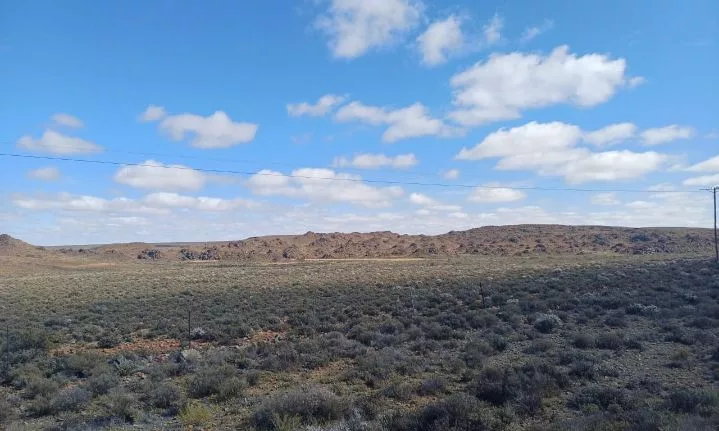
The Road to Caernavon from Loxton is a very scenic drive.
Today, we visited Carnarvon, a town rich in history and fascinating stories. Originally established as Harmsfontein in 1860, it became Carnarvon in 1874, named after Lord Henry Carnarvon. A fun fact: the Dutch Reformed Parish began just a year later, in 1875.
But Carnarvon’s history goes back even further. A Rhenish Mission station, established in the 1840s, aimed to meet the spiritual needs of the Basters who settled in the area in the early 1800s. The Reverend Christian Wilhelm Alheit, born in 1817 in Thuringen, Germany, founded this first mission station at Schietfontein. It was located near Harmsfontein, where several Xhosa families had settled after receiving land from Governor Sir George Thomas Napier in 1839.
This area’s wild frontier offered refuge to many, including Carel Krieger, a distant early relative of President Paul Kruger. His story could easily become a movie! Carel served as a Veldwachtmeester, tasked with road repairs and protection against the San people. Along with his brother Jacob, he even made wooden dies to forge Rixdollar notes. The two brothers were captured by the Cape Colony, transported to the Castle in Cape Town, to await their trial and their fate. But they escaped and fled back to the unruly frontier regions. There they joined up with local Khoi people and became expert hunters. In time, they became useful guides to the white explorers who ventured north.
In 1811, Burchell’s party, with nearly 20 wagons, journeyed to what is now Carnarvon. They faced a desolate landscape—no greenery or birds, just endless earth and sky. Eventually, they encountered a group of San people, who became friends after receiving tobacco and beads. Among them were three young women with cowry shells in their hair, likely influenced by communities further north.
As we wandered through Carnarvon, the charming atmosphere was hard to miss. We even spotted a young boy riding a horse on our way to the Carnarvon museum, adding to the town’s character.
Carnarvon Museum Highlights
Visiting the Carnarvon Museum is essential for anyone curious about the nomadic lifestyle of the early trekboers. Housed in the original Dutch Reformed Church community hall built in 1907, the museum offers fascinating exhibits that showcase the history and culture of the Carnarvon district.
The museum features a diverse collection of old artefacts, from old typewriters and porcelain to preserved Victorian dresses. We found portraits of locals who rose to prominence in the South African Defence Force, along with a series of former mayors, including the renowned Afrikaans writer A.G. Visser.
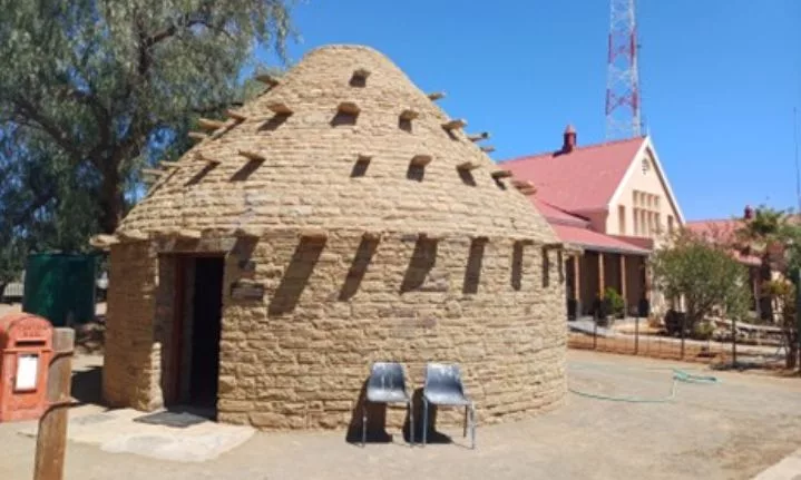
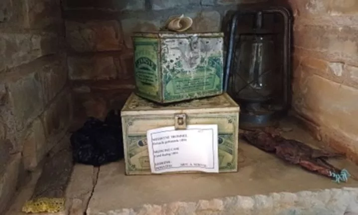
A memorable site, alongside the museum, is the beautifully preserved igloo-shaped corbelled house, a testament to the skills of the early trekboers from the late 1700s and early 1800s. These houses, made from flat stones, were constructed layer by layer, creating a dome shape. The peak was topped with a removable stone for smoke ventilation from the hearth. Photos inside the “stone igloo” show how well it has been restored.
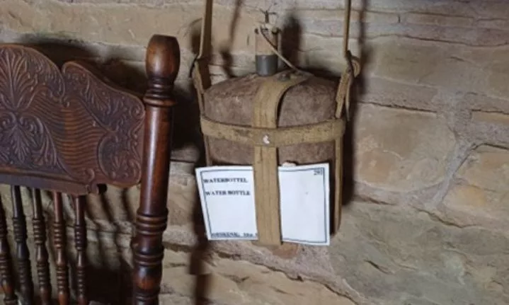
Carnarvon also offers great attractions like the Meerkat National Park, home to the Square Kilometer Array (SKA). Although access to the SKA is limited, the park welcomes visitors on selected days. (Visit www.sarao.ac.za to find more details). This remarkable project will eventually have enough radar dishes to amount to a square kilometer – hence the enigmatic name of the “Square Kilometer Array”. It is peering back into space-time – to the origins of the universe, as SKA deciphers the ancient radio-waves from across the width and breadth of the universe. In the process, a flood of data is absorbed from the dishes. This Big Data is then transported by cable to the analytical centre in Cape Town.
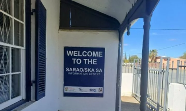
Tourism Prospects in the Northern Cape
We paused to reflect on the exciting tourism potential of the Northern Cape’s dark skies, especially with the yet-to-be-built Carnarvon Science Exploratorium (CSE). This facility aims to establish the region as a top spot for astro-tourism by attracting visitors with unique offerings, including:
- An indigenous botanical garden 🌼
- An outdoor amphitheatre for stargazing events 🌌
- A planetarium space for immersive presentations 🎇
It’s exciting to think about how this initiative could attract tourists, educate youngsters, create jobs and support rural communities!

Chrislin De Koker of Carnarvon, who described the impact of SALT and SKA on local communities, was inspiring. She and her colleague, Amy-Lee Visagie, proudly represented South Africa at the International Student-Teacher Conference in Nice, France, having won the National Global Travel and Tourism Partnership (GTTP) competition for their astronomy tourism research.
Carnarvon at Night
After exploring, we headed to Lord’s Kitchen for dinner. The food was tasty, the vibe was inviting, and the conversations flowed like local wine. We shared laughs and stories about our Oudekloof adventure while dreaming of what lay ahead.
Carnarvon still feels like a hidden gem. Like most other Karoo dorpies, it is a mixture of poverty and prosperity, progress and decay, and old buildings which are gradually being restored to their original splendour.
Day 8: Carnarvon to Prieska
Time flies when we’re enjoying the journey, especially through South Africa’s stunning landscapes. We took the Forgotten Highway, winding past the Kareeberge mountains and historical sites like Schietfontein, Karelsgraf, and Prieskapoort, all the way to the southern bank of the Orange River, with the rugged Doringberg providing a dramatic backdrop.
We headed for Prieska, founded in 1878. The name “Prieschap,” meaning “place of the lost she-goat” in Khoisan, hints at the many tales this town holds. Known for its precious stones, Prieska has a quiet, mysterious vibe. Before diving into exploration, we took a moment to appreciate the landscapes that define this area.
We set off early from Carnarvon, eager to tackle the 180km dirt road that forms part of the original Forgotten Highway.
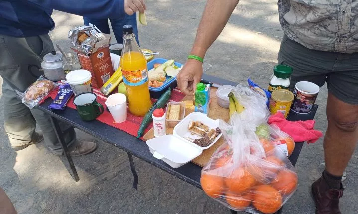
Breakfast stop along the way
Backtrack to the intrepid Kruger brothers, plying their hunting and trading activities amongst the Khoi communities north of the Kareeberge in the late 1790s. In a remote spot, now called “Carelsgraf”, one brother was trampled to death by an elephant who refused to succumb to a hunt. There is a lonely grave one can visit.
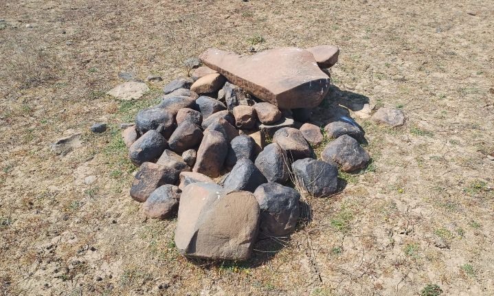
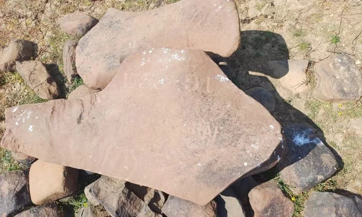
Karelsgraf
A stop at Blue Stone Saloon Bar
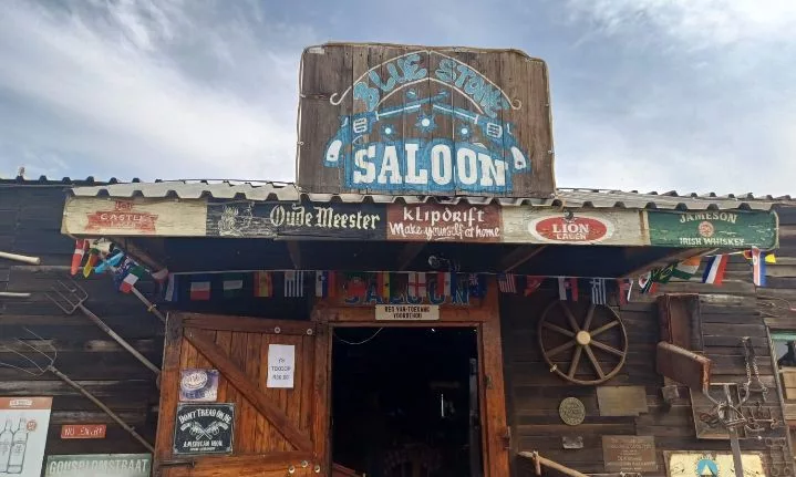
We visited the Blue Stone Saloon Bar, a charming spot owned by John Van Der Westhuizen, where every family member has owned a VW Beetle. John’s Beetle stands out with a gin bottle on the dashboard and a painted road map on the bonnet. He humorously remarks, “If you think you’ve had too much to drink, just check if you’re still on the map and keep going.”
Entering the saloon felt like stepping into a western film, with swing doors made from car doors and walls adorned with flags and memorabilia.
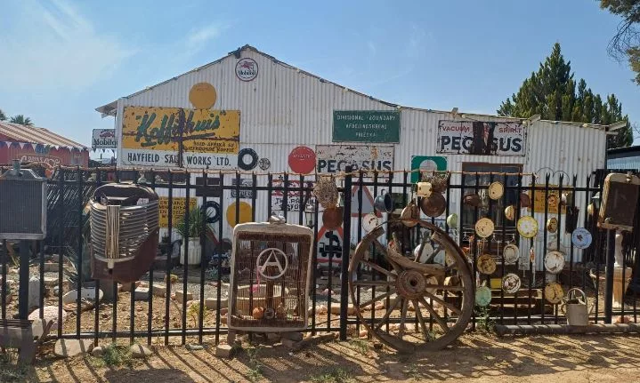
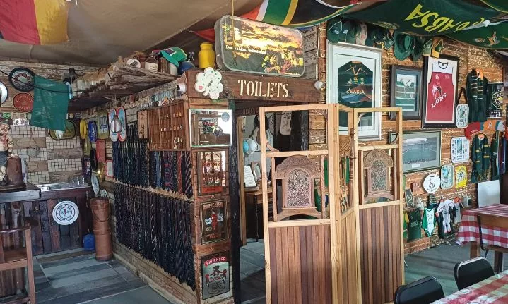
John’s passion for antiques is evident throughout the saloon and Excelsior Antique Town, which he opened in 2019. We walked through old farm gates, welcomed by colourful flags and a vintage ambulance on display. The saloon has become a local hub, expanding with an outdoor restaurant, a library, and plans for a mini saloon for kids, fostering community spirit and connection.
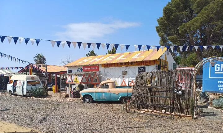

Johan van der Westhuizen’s Blue Stone Saloon Bar, a nostalgic spot filled with antique treasures.
We ended the day at the Riverview Lodge by the Orange River. As the sun set, we toasted a fantastic day while celebrating a fellow Forgotten Highway member, Lynette Prinsloo’s 80th birthday with cake, a custom T-shirt, and a bottle of wine.
Prieska may be small, but it’s rich in history and a perfect spot to relax and unwind. We left feeling connected to the past, pleasantly surprised by the warmth and stories of this hidden gem.
Day 9: Prieska to Witsand Nature Reserve via Griekwastad
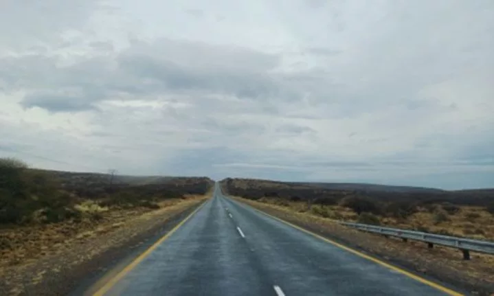
We left the rainy Prieska behind and crossed the Orange River toward Groblershoop. Just north of the river, Burchell discovered his first true Khoi settlement. He found it charming, with matted huts that were easy to move. While we were there, a group of ten San men waded through the river to visit. Burchell was fascinated and continued collecting plant and bird specimens, even hearing crickets for the first time.
The drive to Witsand was stunning, featuring scenic views of beautiful mountains and lush green Karoo landscapes. There are many Euphorbias, a strange plant species, with over 2,000 species worldwide. South Africa has around 200 species, including 14 tree-like varieties that resemble cacti at first glance.
On our way, we saw the red-crested korhaan and the lovely Namaqua sandgrass.
We passed through Griquatown, with a very interesting history. In 1801, William Anderson and Cornelius Kramer of the London Missionary Society established a mission station among the Griqua in Leeuwenkuil. The site proved too dry for farming, so they relocated to a better spring further up the valley, which they named Klaarwater. In 1813, the “Baster” communities decided to rename themselves the “Griqua”, and the site became known as Griquatown.
We also learnt about Kaptein Andries Waterboer, who established the Waterboer dynasty in Griqualand West. His leadership caused a schism among the Griqua people, as factions of the Kok and Barends dynasties migrated southeast, eventually moving to Philippolis in the Free State in 1826, and from there, they migrated to Kokstad in Griqualand West, in the 1860s.
Groblershoop, also known as the Gateway to the Green Kalahari, is a land of contrasts. This region is known for its wine production, with the local cellar being one of five in the Oranjerivier Wine Cellars and the first on the Orange River Wine Route. The settlement, which began in 1914 on the Sternham farm, was renamed in 1939 after Piet Grobler, a former Minister of Agriculture. Development accelerated after the Boegoeberg Dam was completed in 1929.
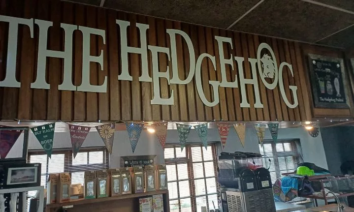
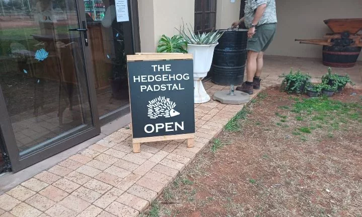
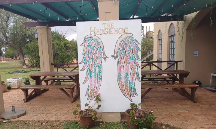
We had brunch at The Hedgehog and OWK Padstal. We ate roosterkoek while it rained outside. This padstal was busier than usual, with waitresses serving local wine. Roosterkoek, a traditional South African bread baked over an open flame, was a delicious treat.
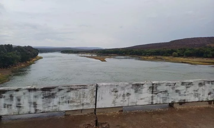
Reaching Witsand
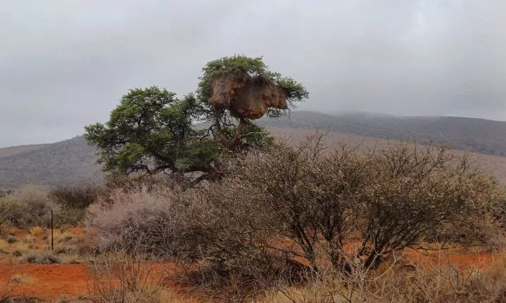
After brunch, we drove to Witsand Nature Reserve. We were fascinated by the large bird nests perched on posts and trees along the way.
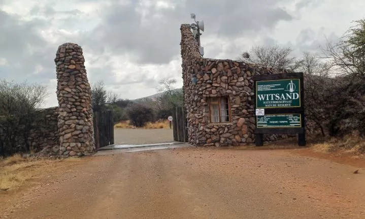
Entering Witsand Nature Reserve
The Witsand cottages were really comfortable, and we checked in right after arriving. The stunning scenery amazed us, filled with monkeys and other wildlife roaming freely. We met John Martiens, the manager and tourism coordinator at Witsand Nature Reserve. He knows the area, its history, and its plants and animals inside out.
The remote dune landscape was significant during the 1914 Boer Rebellion. It provided food and shelter for renegade troops when around 12,000 Afrikaners rose up against the South African government after refusing to invade German South-West Africa
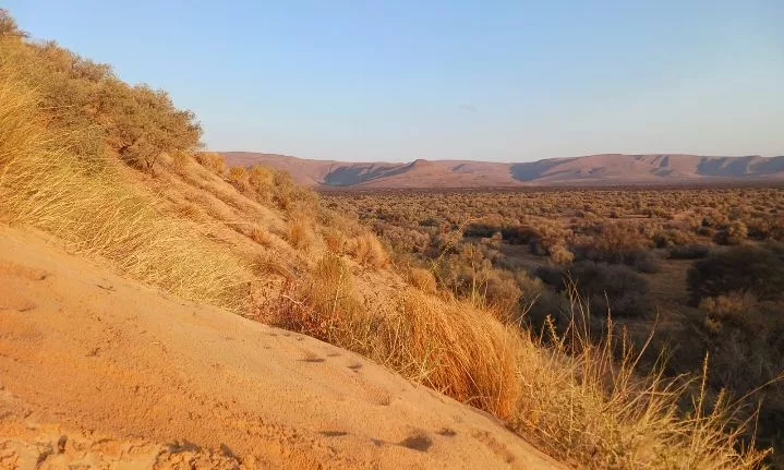
After this, I am convinced the Northern Cape has the best off-roading experience.
Day 10: Witsand, and a fond farewell
On our last day on the Forgotten Highway, we felt excited to head home. We made plenty of friends and explored various towns from Tulbagh to Witsand. Witsand Nature Reserve is known for its stunning dunes, especially the Roaring Sand, a major attraction for visitors. Underneath the dunes lies water about a metre deep, which farmers access through long pipelines.
The dunes are created from wind-blown sand, primarily red Kalahari sand, which gets bleached by water, resulting in the beautiful white dunes we see today.
We learned about the area’s history from John Martiens, who took us on a tour of the landscape tied to the 1914 Afrikaner Rebellion.
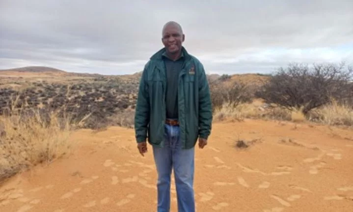
Meet the face behind the name, John Martiens! 🌱
The Afrikaner rebellion aimed to re-establish the South African Republic in the Transvaal. By 1914, many Boers who had fought in the Anglo-Boer War were still angry about the British government. When the South African government decided to join World War I on Britain’s side, it pushed the Boers to revolt.
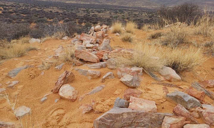
Ramparts built by Afrikaner rebels
General JCG Kemp led a group of rebels from Western Transvaal to Namibia. They faced challenges like water shortages and heat, and on November 15 1914, they discovered water at Witsand. While there, they managed to buy flour and meat from local trekboers. Kemp spread his men across the area to guard against government forces. On November 16, the rebels fought hard to hold their position. Despite their efforts, they faced significant losses but ultimately managed to repel the government troops. From there, they set off on an arduous desert trek to join the German forces in South-West Africa. Ultimately, the South African forces invaded SWA, and defeated the Germans. The Afrikaner rebels were imprisoned and put on trial.
Today, Witsand Nature Reserve is full of life, with over 170 bird species and stunning natural features. It’s also known for summer thunderstorms that create fulgurites—glass-like tubes formed in the sand.
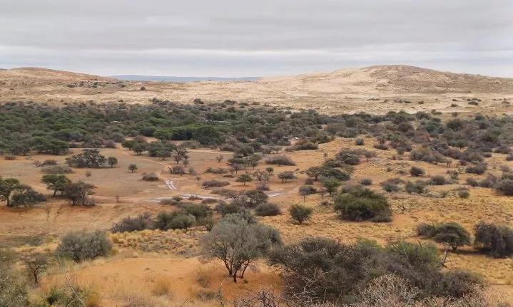
At the reserve, we spotted various mammals like springbok, duiker, and gemsbok. We even looked out for the elusive pangolin and aardvark at night.
Witsand offers a range of activities for all ages, including hiking, mountain biking, dune boarding, and birdwatching. After packing up, we enjoyed a hearty breakfast together before saying our goodbyes.
The Forgotten Highway Route – An Opportunity to Remember a Lost World
As we conclude our journey along the Forgotten Highway from Tulbagh to Witsand, it’s evident this route offers much more than just stunning landscapes. Each town we visited brought its own unique charm. We were welcomed by warm and friendly locals, sampled authentic food, and explored museums that painted a vivid picture of the region’s past. One striking observation was how, in almost every town, a church stood as one of the first buildings—a testament to the deep-rooted traditions and history of these communities.
We also noticed the strong commitment of the local people to preserving the legacies of their ancestors—whether Khoi, San, or Trekboers. These efforts give these towns a distinct character and serve as a reminder of the rich cultural heritage that shapes the area. However, it’s clear that these communities still face challenges in becoming fully self-sustaining. Expanding tourism in these historically significant areas could provide much-needed support for local economies, helping them grow while honouring their past.
While the towns generally maintain their transport infrastructure, many roads are unpaved and travellers need to drive slowly and carefully. All the roads are suitable for ordinary sedan cars, but some stretches can become a bit uneven, so one needs to reduce speed. Despite the bumpy rides, the experience is worth it—both for the landscapes and the stories that unfold in each small town along the way.
Planning The Trip:
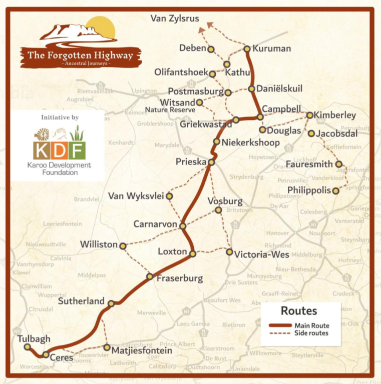
The Forgotten Highway route stretches over 1,000km of astounding South African history.
For more information, contact the Route Project Manager, Prof Doreen Atkinson, on [email protected], or whatsapp 071 401 2583. Also visit www.karooforgottenhighway.com, or Facebook.
For travel inquiries, contact Zatrax Travel at www.zatrax.com, Gerrit van der Merwe, [email protected], Cell 082 655 8133.
Accommodation Highlights:
1. Riverview Lodge, Prieska
*Rates may vary according to season/number of people
Address: Lang St, Prieska, 8940
082 825 0431, Book here.
2. Witsand Kalahari Nature Reserve
From R250 pn
*Rates may vary according to season/number of people
Address: CFF6+2X, Rietkloof
083 234 7573.
Also visit
Follow us on social media for more travel news, inspiration, and guides. You can also tag us to be featured.
TikTok | Instagram | Facebook | Twitter
ALSO READ: The Forgotten Highway: Part One

