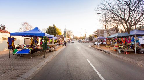
Is Panorama Route too busy for you? Try the Barberton geology route on Mpumalanga’s highest roads and explore its impressive heights.
I recently took a trip along the Panorama Route. I imagined frolicking in waterfalls, eating pancakes, and soaking up tranquil vistas. In reality, I was jammed in among hordes of people who arrived in busloads for the public holiday. Sure, it was beautiful, but I wanted something less Instagrammed. And I found just that, south of the N4 – during school holidays, nogal.
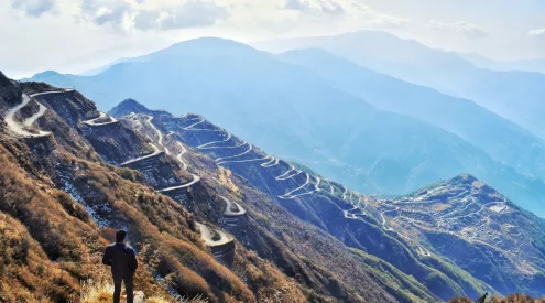
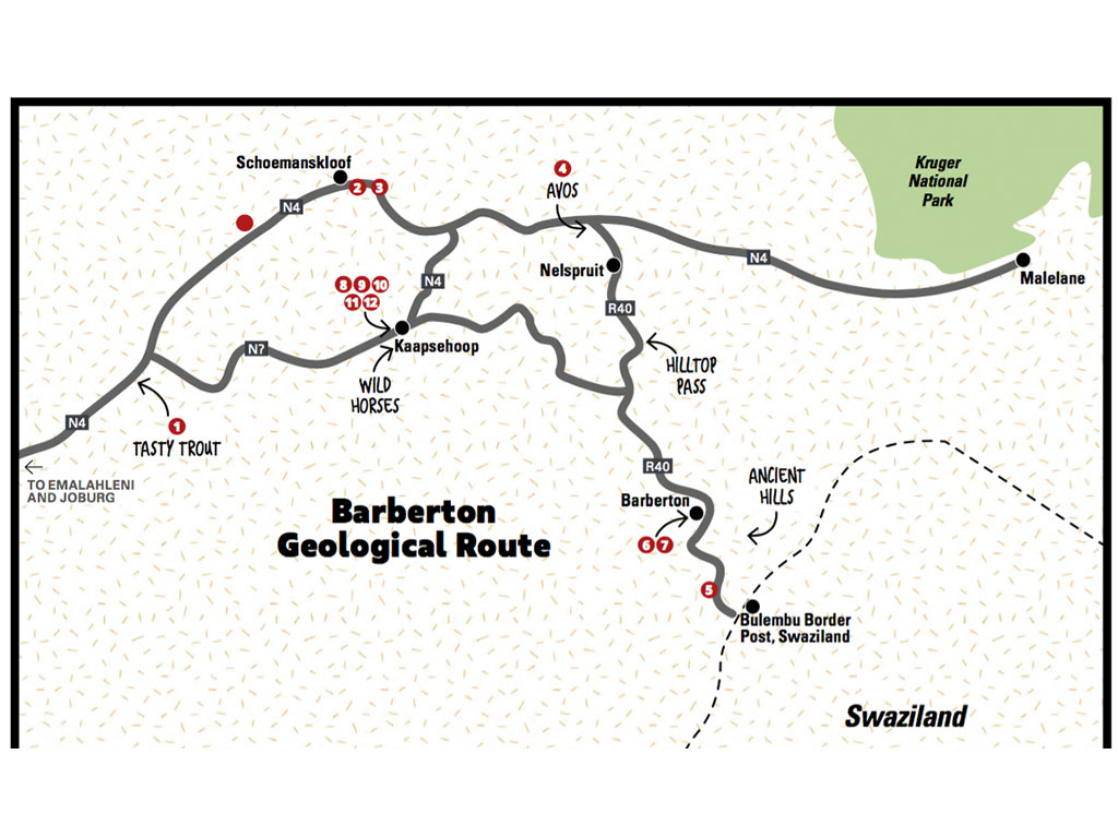
I planned a drive from Joburg to the Barberton Makhonjwa Geotrail, a winding mountain route through some of the oldest mountains in the world to the Swaziland border. I threw in a couple more mountain passes for good measure and ended up with my own ‘panorama route.’
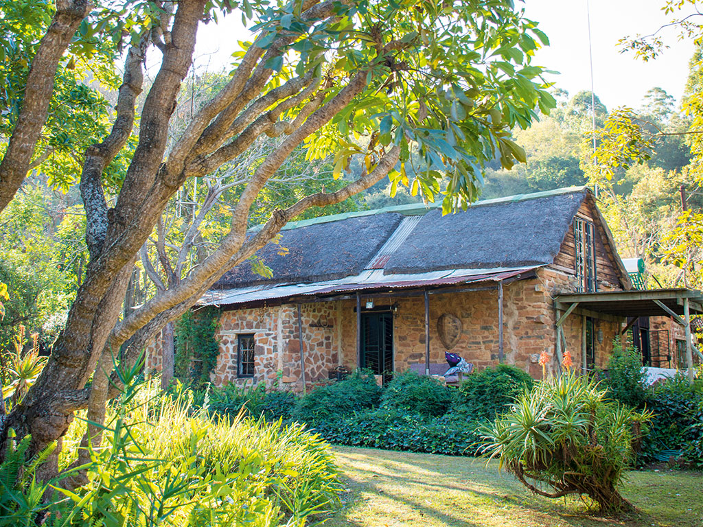
Following the N4, I found the first sweeping mountain pass was Schoemanskloof, a well-tarred road flanked by thornveld. After a hearty lunch at Milly’s restaurant, before the Machado Toll Plaza, I meandered my way towards Schoemanskloof Falls Retreat, where I had booked into the Mountain Pondokkie. Most of the farms in the area are planted with citrus (and patrolled by big baboons), but Schoemanskloof Falls Retreat – a working fish farm – has preserved swathes of wild bush. At first glance, the farm equipment and scraps lying about did little to justify the drive, but after climbing up a rugged road (you need a high-clearance car, but the owners are happy to offer a lift if needed), the secluded cottage was a dream.
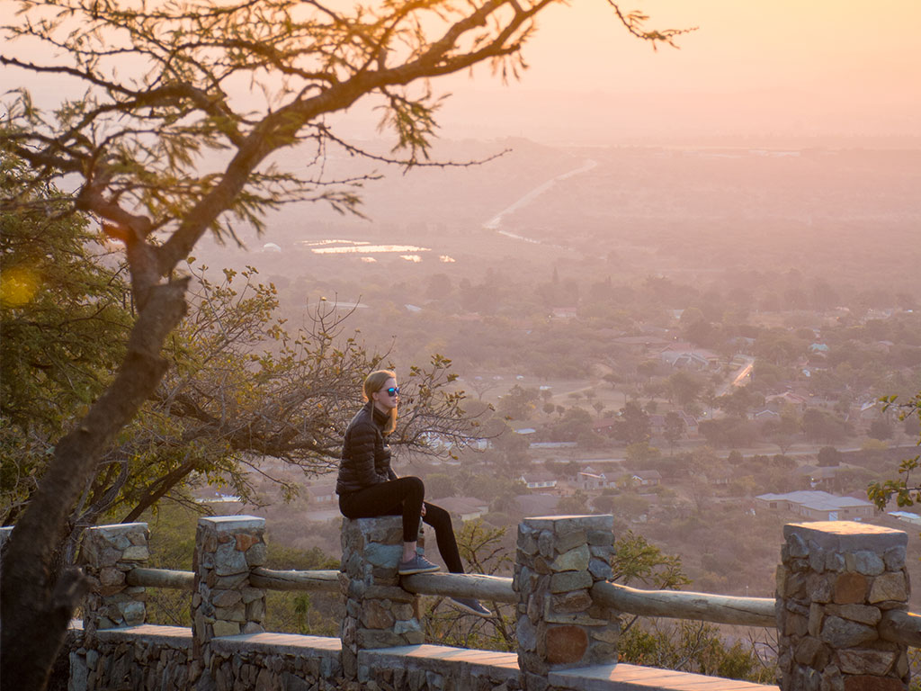
Previously an inn, the stone farmhouse was the perfect way to ease into a holiday. No Wi-Fi or TV was needed – just a roaring fire and good company. The evening brought sublime colours to the valley, and baboon barks echoed down the slopes.
In the morning, I headed towards Barberton and the geology-focused drive that winds its way to the Bulembu Border Post. I wanted to include as many mountains as possible and chose to stay on the N4 to Nelspruit and slip down the appropriately named Hilltop Pass. Even though it was winter and the sweeping grasslands had turned dull, the drive offered wide views and a sense of serenity. In summer it would be even better.
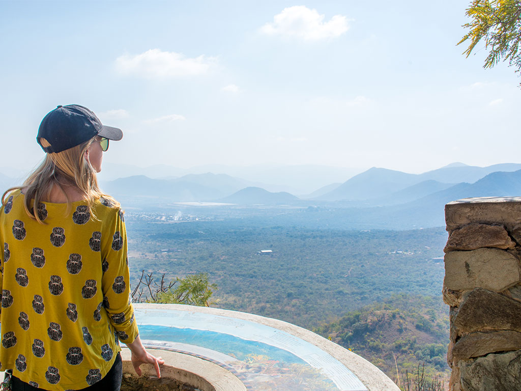
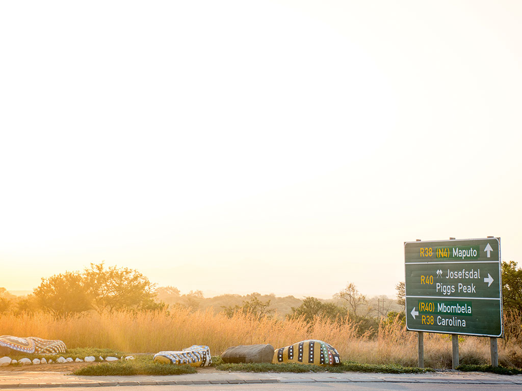
I drove past the entrance to Barberton, which is decorated with painted rocks and changed gears to tackle the incline to the first of 11 stops on the Geotrail. Launched in 2014, the aim of the drive is to make the area’s world-famous geology more accessible to non-geologists. Some of the stops have picnic sites, and all have excellent views and information boards. Honestly, many of the geological terms on the boards went completely over my head, but it was a fantastic way to spend a morning. Something about an immense view puts life’s problems into perspective.
The mountains on this drive are 3.2 billion years old and haven’t changed much since they played host to some of Earth’s first living things. I saw evidence of this first life in the form of grey-black grains in a piece of rock, believed to be fossilised microorganisms. This alone is worth the trip – even though ‘first life’ looks like a bunch of freckles to me.
The road is tarred for the entire drive on the R40 to Swaziland and twists past pine plantations, and embraces wild pockets of indigenous forest, releasing trickles of water onto the road.
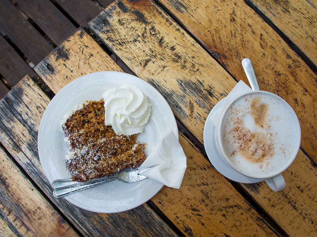
Once at the Bulembu Border Post, I turned around and aimed the car back towards Barberton. I needed a slice of cake and some tea and found both at Die Plaaskombuis next to the town’s museum. That afternoon, I cruised through Barberton, admiring the neon bougainvillea draped along fences and the old zinc mining cottages, before retiring to Bushwhacked, a rustic cottage on a koppie just outside town.
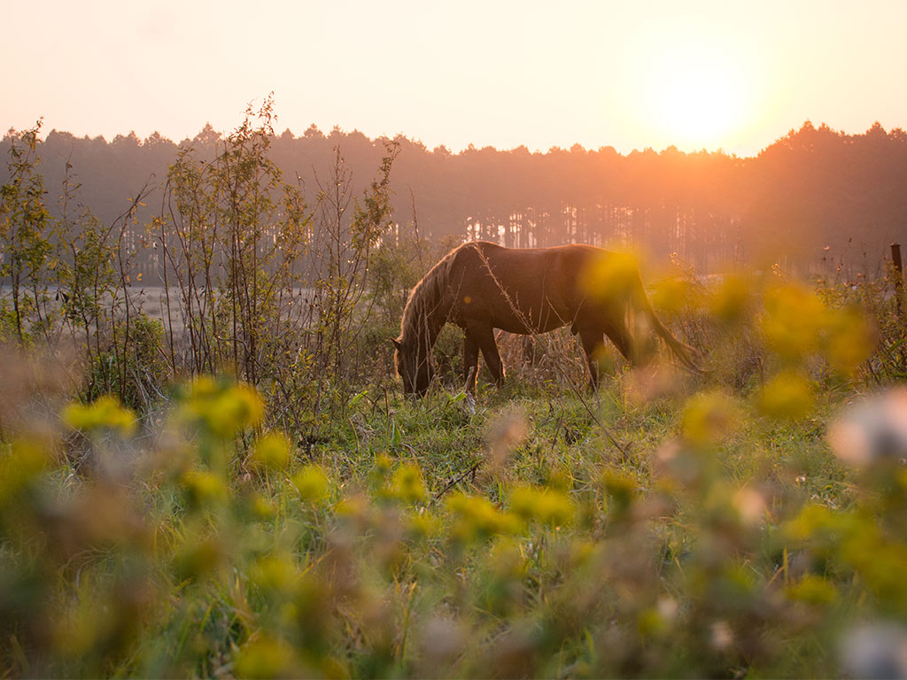
The next day, I drove slowly into the village of Kaapsehoop, hoping to spot some of the estimated 200 wild horses that roam these parts – even the tarred passes. I was in luck.
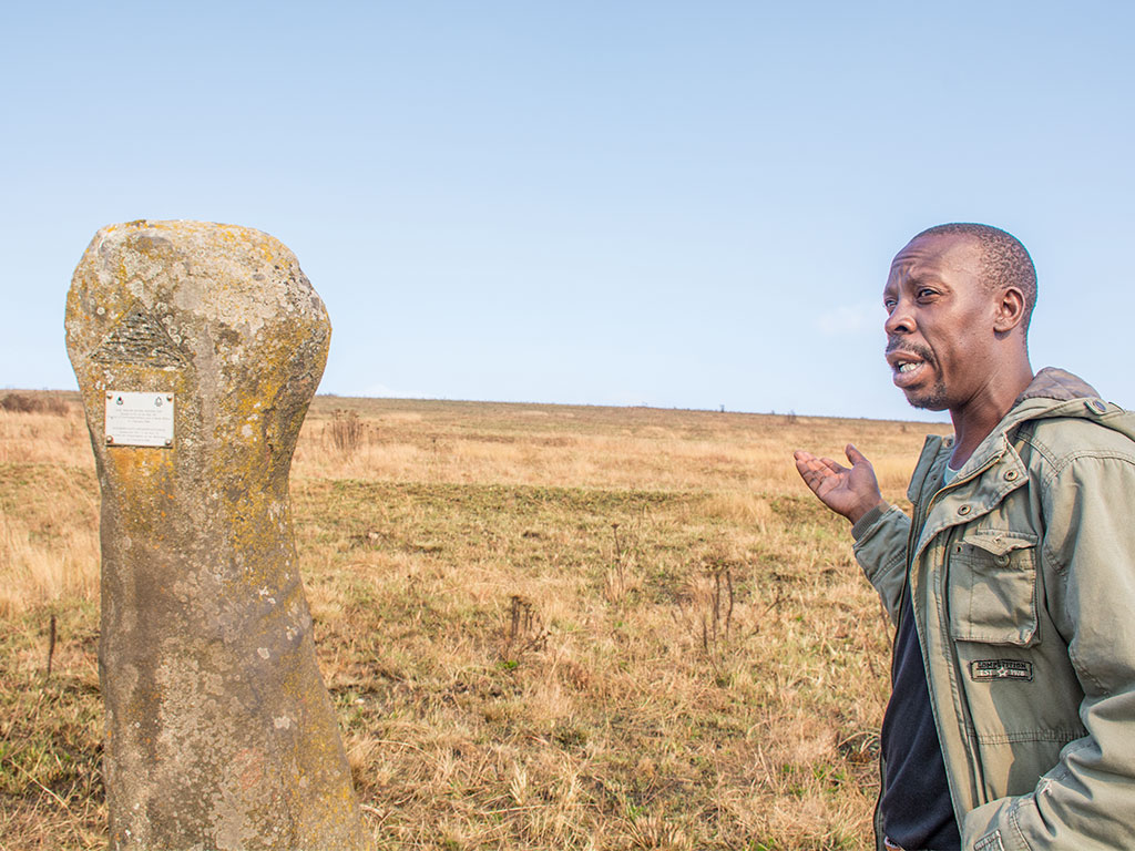
After a breakfast pancake at Koek ’n Pan, I met up with local tour guide Enos Zulu and arranged a hike to Adam’s Calendar, South Africa’s own ‘Stonehenge.’ I was advised to go on the three-hour walk with an open mind and was blown away by these stones strategically strewn across the mountaintop. Enos, a knowledgeable guide and excellent storyteller, told me about the conspiracies surrounding the stones, one of which posits that they have a link to Egypt’s pyramids and the Zimbabwe Ruins.
Even if you’re not a history fan, the walk alone – in the Blue Swallow Reserve – is a good enough reason to go. Although they haven’t been seen lately, these rare swallows commonly breed in the old mine shafts surrounding Kaapsehoop. Enos is also an exceptional bird guide and knows where to find special sightings.
Back in Kaapsehoop, I browsed its few stores, devoured a pizza, and found the famous feral horses grazing outside the village under a lonely windpump. This dorp is truly quaint and charming, and the tin homes are reminiscent of Pilgrim’s Rest but with a far more authentic feel. It has pancakes, hilly passes, peace and quiet, and a good dose of mystery and majestic steeds. With horse tails swinging from side to side like soft pendulums and a pink sunset to myself, I declared my Mpumalanga mountain meander a success.
Joburg to Kaapsehoop
Day 1: Joburg to Schoemanskloof
Distance: 300km
Allow: 5 hours
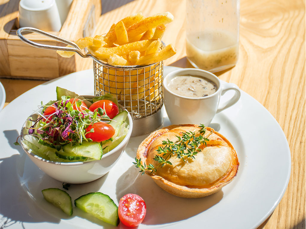
From Joburg, drive on the N4 towards Middelburg, stopping for fuel and trout pie at Milly’s restaurant. From there, it’s an easy hour’s drive on the N4 highway to your first night’s accommodation at Schoemanskloof Falls Retreat. After the Machado Toll Plaza, keep left to drive the Schoemanskloof Pass. Before turning off to your accommodation 10km later, stop for freshly squeezed orange juice from Kumi Restaurant at the Viva Fuel Station. Spend the night at the retreat’s Mountain Pondokkie.
Day 2: Schoemanskloof to Barberton
Distance: 170km
Allow: 4 hours
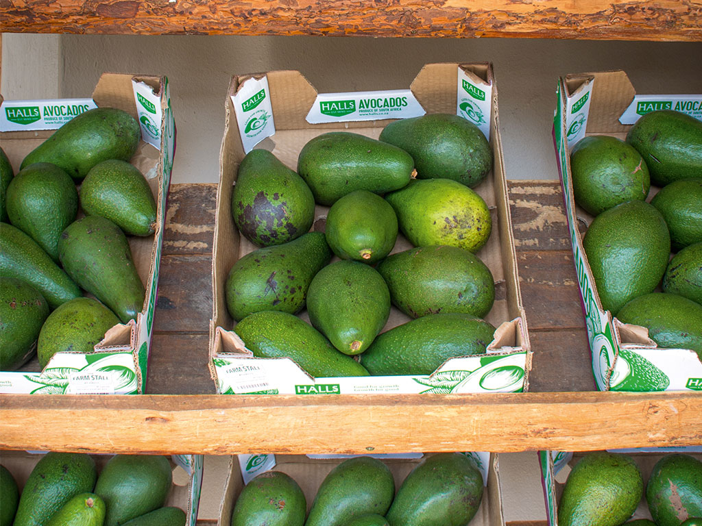
Carry on along the N4 towards Nelspruit and take the R104 to stop at Halls Farm Stall for avos and other local produce. Drive through the town of Nelspruit (I always forget how big this city is – it even has an H&M store now) and turn right onto the twisting Hilltop Pass on the R40 towards Barberton. After 45km, pass the town and head towards the Geotrail in the direction of Swaziland. Stop to read the info boards along the way, and once you hit the border, double back to Barberton. The town’s museum is full of mining information, and there’s delicious carrot cake next door at Die Plaaskombuis. If you want to stay in Barberton, Bushwhacked is a great budget stay.
Day 3: Barberton to Kaapsehoop
Distance: 50km
Allow: 1 hour
From Barberton, turn off the R40 after about 11km – a sign points left to Kaapsehoop. It’s a long, bumpy dirt road past plantations to get there, but scenic enough (alternatively, drive back to Nelspruit and around on the N4). Head out on a walk to see Adam’s Calendar on the Blue Swallow Reserve. Although I didn’t eat at the Bohemian Groove Café in town, I have it on good authority that it is excellent for lunch or dinner. While away the afternoon looking for feral horses, stay at the lovely self-catering historical home, Lambourns. There’s a big kitchen, a lovely living area, and a flower-filled garden.
READ: Getting to know the wild horses of South Africa
Do it differently
Stay at Kaapsehoop for the entire trip and do various daily drives. This town has the best accommodation variety, is close enough to the geotrail, and is under four hours from Gauteng. This route is also perfect for journeys to and from the southern gates of Kruger National Park. You can also add another mountain pass onto the trip – take the N4 past Middelburg. 10km after the Alzu Petroport, turn right at the R33 sign for Carolina. Take the R38 (Genesis Route) out of Carolina and stop at the top of Nelshoogte Pass for a break.
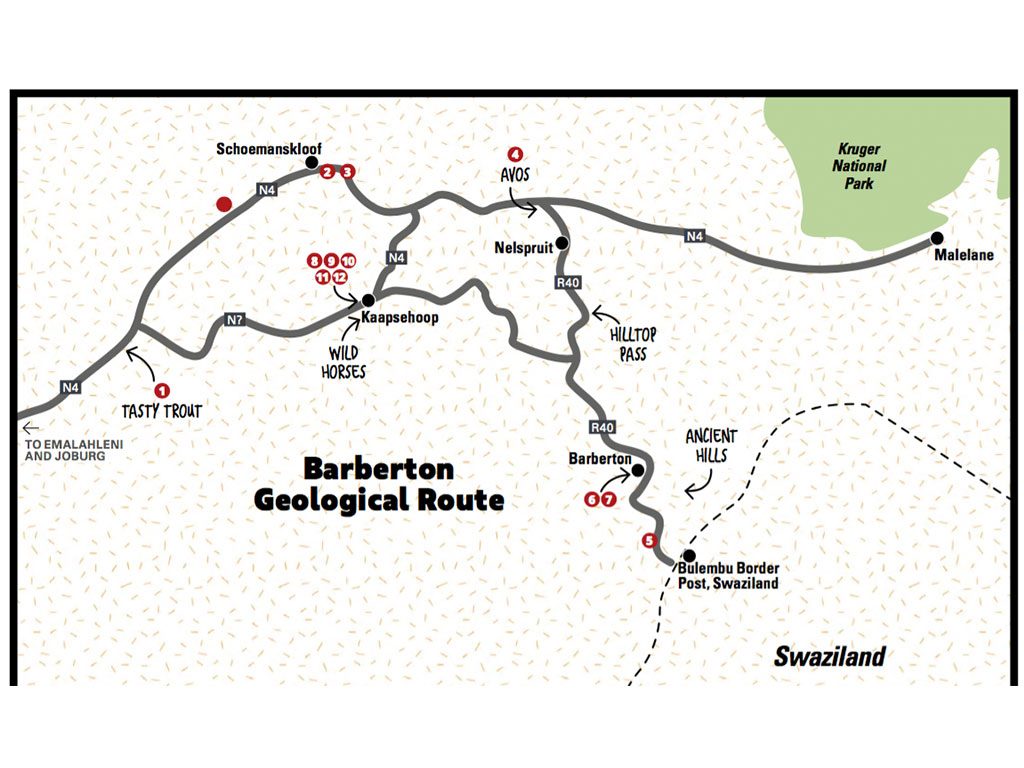
Road trip directory and map
Follow us on social media for more travel news, inspiration, and guides. You can also tag us to be featured.
TikTok | Instagram | Facebook | Twitter
ALSO READ: Spend 48 hours exploring Kaapschehoop, Mpumalanga

