The humble map is a flat representation of Earth’s surface drawn to scale by a cartographer or mapmaker. If your geography lessons are a little hazy, scale essentially determines how much detail can be included on a map or how close you can zoom in.
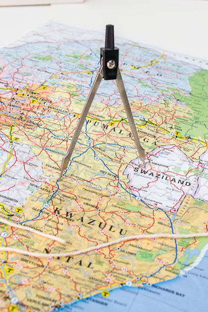
The ratio describes how many centimetres on the map equate to kilometres on the ground. For example, a scale of 1:100#000 (in thousands we insert a hash symbol so the artist knows where to put a thin space) means every centimetre measured on the map matches 100#000 centimetres or one kilometre on the Earth’s surface.
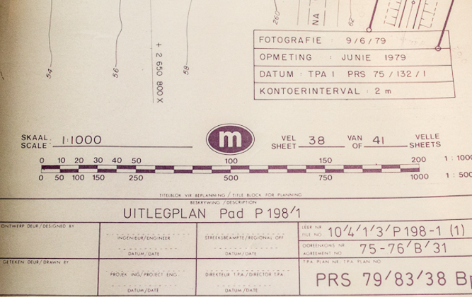
When choosing a map, know how much detail – the quality and scope of features included in terms of secondary roads, distances, heights and points of interest – you’ll need for a trip.


