


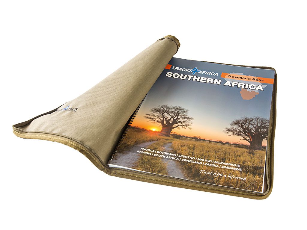
It’s deeply ironic that in a world of ever-smarter navigation technology, the most useful travel companion I’ve come across is the latest printed Traveller’s Atlas Southern Africa from Tracks4Africa.
Tracks4Africa-Travellers-Atlas
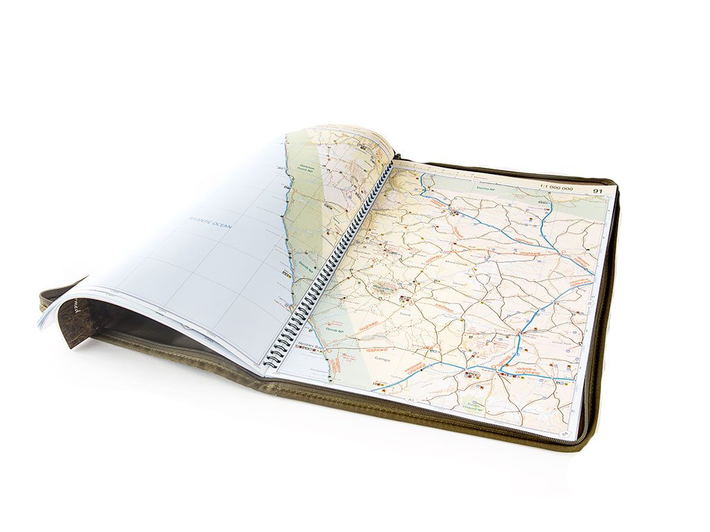
It’s a 142-page nugget essential for anyone travelling in South Africa and its neighbouring countries (Lesotho, Swaziland, Mozambique, Zimbabwe, Malawi, Zambia, Botswana, Namibia and Angola). Most of the pages are at a scale of 1:500000, large enough to give users a microscopic view of almost every route, from major highways to minor gravel roads and proper off-road routes.
Its most useful feature is the distances and travel times indicated for most roads more than 10 kilometres long.
It’s been invaluable in my Getaway trip planning, where the relationship between distance and time on off-road routes is far from constant. The atlas includes markers for mountain passes, information on border crossings, national parks, fuel stops, accommodation and other facilities. It also comes with a hardy canvas cover (included in the price if bought from the T4A website).
R690 for the atlas, R160 for the canvas cover at retailers, tracks4africa.co.za