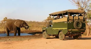
With over 2 million hectares of bush, trees, shrubs, birds, mammals and reptiles, it can be hard figuring out the best place to drive in the Kruger National Park in order to spot a good few animals. It’s especially important to know where you’re going when your time in the park is limited. So have a look at these recommended roads – they’re known for boasting some wonderful wildlife activity. (If you’re going to be staying overnight, check out our Kruger accommodation reviews.)
Remember: The best times to search for wildlife are early in the mornings and late in the afternoons.
1. S28 between Crocodile Bridge and Lower Sabie
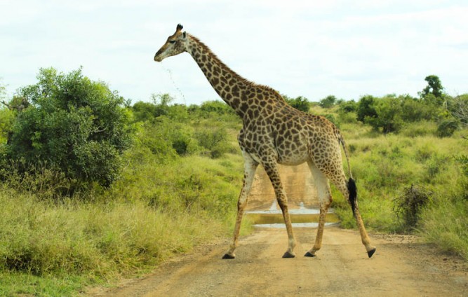
You’ll find this gravel road in the south of the park, offering an alternative route between Lower Sabie Rest Camp and Crocodile Bridge Rest Camp. Although this is a very straight, flat (and seemingly boring) road, it is great for spotting wildlife. Occasionally, a tall tree protrudes from the flatness.
Animals
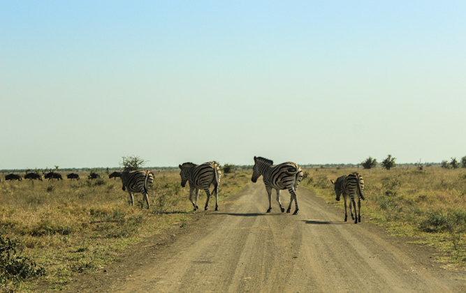
Many white rhinos graze along the S28 and you’ll easily spot them across the plains. I also spotted many giraffes, zebra, elephant and even a lion.
Attractions
Nthandanyathi Bird Hide is a wonderful place to stop off and stretch your legs. (It’s also one of my top 5 bird hides in Kruger.) It overlooks a broad section in the river with the same name and is surrounded by thick vegetation.
GPS coordinates: -25.207193, 31.959229
Nhlanganzwane Dam lies along the S107 that turns of from the S28. Another 2km will bring you to this popular drinking place.
GPS coordinates: -25.23379, 31.97426
Getting there
From Lower Sabie: Drive out of camp and turn left at the T-junction. Follow the H1 for about 6.5km and take a left turn onto the S28.
From Crocodile Bridge: Drive north along the H1 for about 3.5km and turn right onto the S28.
Total distance
The S28 itself is 24km in length
2. S25 – Crocodile River Road

A very scenic road that connects Crocodile Bridge Rest Camp to Berg-en-Dal Rest Camp, this road loosely hugs the Crocodile River and boasts thick vegetation throughout most of the year.
Animals
Elephant sightings are pretty much guaranteed along this road while white rhino, lion, giraffe, waterbuck, kudu and hyena are common
Attractions
A short (2.5km) detour down the S27 will bring you to Hippo Pools Lookout – one of my top 10 look-outs in Kruger.
GPS coordinates: -25.185059, 31.860352
Getting there
From Crocodile Bridge: Take the H4-2 north for 1.5km and turn left onto the S25/Crocodile River Road.
From Berg-en-Dal Rest: Follow the S110 out of camp for 9.5km and turn left onto the H3. After 2km, turn right onto the S114. After 5.5km this road will become the S25/Crocodile River Road.
Total distance
The Crocoodile River Road is 55km in total.
3. H4-1 between Skukuza and Lower Sabie
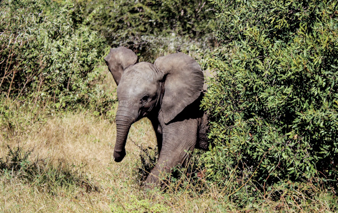
Perhaps one of the most popular roads in the park, connecting the equally popular Skukuza Rest Camp and Lower Sabie Rest Camp, this one follows the course of the Sabie River. Although it’s tarred all the way through, there are many small gravel loops turning toward (and away from) the river. These are all worth a quick scan for animals.
Animals
Elephants are very popular along the river’s course, while huge numbers of impala mill about near the road. Check the pools in the river for hippos and large crocs sunning on the banks and monkeys and baboons playing beside the road. Leopard is often spotted here late in the afternoon as the sun sets.
Attractions
Nkuhlu Picnic Spot is the perfect place at which to stop to break the drive in half. Bring along your bacon and sausages and rent a gasbraai for a fry-up or buy coffee and snacks at the store.
GPS coordinates: -24.996628, 31.769049
N’watimhire Dam lies right beside the road, so you’ll have no extra trouble pulling over and scanning the water for hippo and the banks for croc.
GPS coordinates: -25.05416, 31.80201
Just before reaching Lower Sabie, you’ll drive by Sunset Dam, a very popular stop for visitors, especially in the late afternoon. Water birds are common here, as are hippo and croc.
GPS coordinates: -25.11649, 31.91240
Getting there
From Skukuza: Drive out to the four-way stop, and then turn left onto the H4-1.
From Lower Sabie: Drive out of camp and turn right at the T-junction onto the H4-1.
Total distance
The H4-1 has a total distance of 43km.
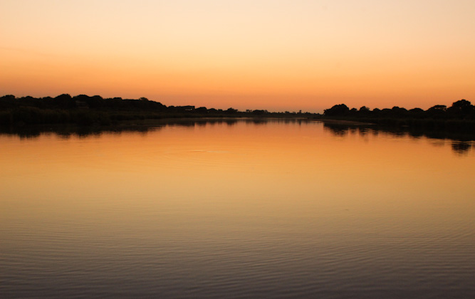
5. H4-1, H12, H1-2 loop
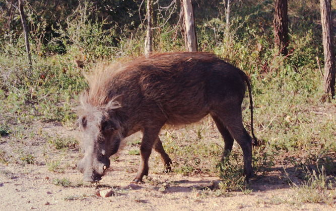
If you’re staying at Skukuza Rest Camp (here’s why staying at Skukuza is a good idea), this is a great road to drive late in the afternoon if you don’t have time for a lengthy drive and you would like to fit in some sightings before the gates close. While the H4-1 hugs the Sabie River, the H1-2 follows the Sand River and you’ll get the chance to cross both these river along low-level bridges – great for spotting wildlife.
Animals
Check all the dams in the river and the vegetation beside it for lion, leopard, buffalo and elephant. Keep an eye out at the low-level bridges for hippo, giant water monitors, crocodile and water birds.
Attractions
The low-level bridges crossing the Sabie River and the Sand River are definitely worth a stop to see which animals are drinking down at the water.
Getting there
From Skukuza, head out to the four-way stop and turn left. You are now on the H4-1. Follow it until you find the tarred H12 turning left and turn left again at the T-junction to climb onto the H1-2. This will lead you back to camp.
Total distance
The entire loop, from Skukuza and back to Skukuza is about 34km.
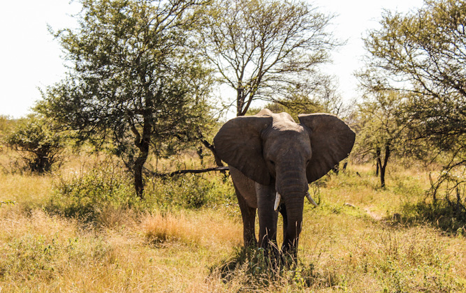
4. Doispane Road and the S3
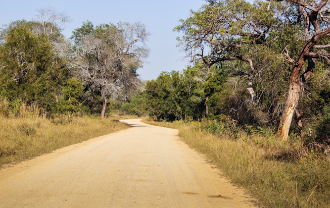
This loop runs from Skukuza Rest Camp toward the west of the park. While the S3 hugs a quieter section of the Sabie River (passing through very scenic, thick riverine vegetation), the Doispane Road (which you’ll be taking back) is more grassy with lower bushes for better views.
Animals
This route holds many exciting sighting opportunities, so keep a close eye out for lion, leopard, elephant, hippo, bushbuck, white rhino, waterbuck and giraffe.
Attractions
Along the S3 you’ll encounter many striking trees, one of which stands right beside the road, 9.3km after turning onto it.
GPS coordinates: -24.97043, 31.41065
A short detour of 4km will bring you to Albasini Ruins, where the trader Joao Albasini had his house and trading store in the 1830s.
GPS coordinates: -25.023327, 31.243948
Getting there
From Skukuza: Drive to the four-way stop and then turn right onto the H11. After 12km, just before reaching the Paul Kruger Gate, turn left onto the S3. Follow it until it intersects with the Doispane Road and turn left to complete the loop.
Total distance
From Skukuza, all along the loop and back to Skukuza is about 80km.
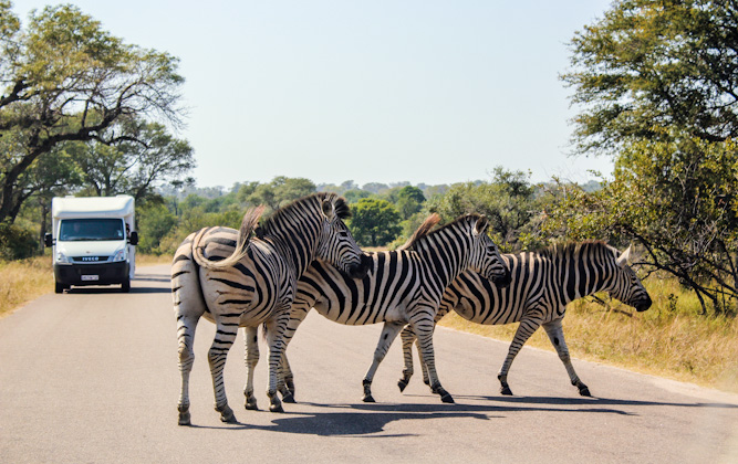
6. H7 between Orpen and Satara
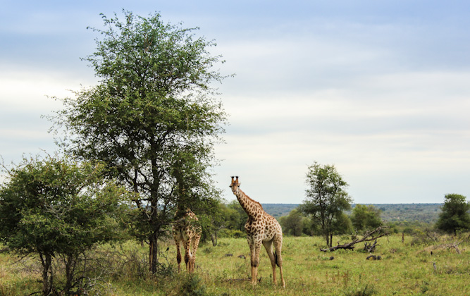
This particular tarred road characterises exactly what the central region of the Kruger is all about. The road connects Orpen Rest Camp (and the satellites of Tamboti and Maroela) and Satara Rest Camp. The plains here are flat and grassy and you can literally see for miles across them.
Animals
Large herds of wildebeest and zebra frequent these plains, while giraffe, elephant and warthog are also seen regularly.
Attractions
There are two lookout points, both named Bobbojeaankrans, set high on a cliff overlooking the Timbavati River. They’re about 4km apart and you can get out and enjoy the view at both.
GPS coordinates: -24.405985, 31.523659 and -24.40699, 31.57243
Nsemani Dam can be found quite close to Satara, along a short (800m) gravel loop. It’s a popular drinking spot for waterbuck, zebra, wildebeest and water birds.
GPS coordinates: -24.39281, 31.71744
Getting there
From Orpen: Merely drive straight from the gate along the H7.
From Satara: Exit the camp and drive to the T-junction. Turn right and drive south along the H1-3 for 2km and then turn right onto the H7
Total distance
The H7 is 45km in length
7. S90, S41, S100
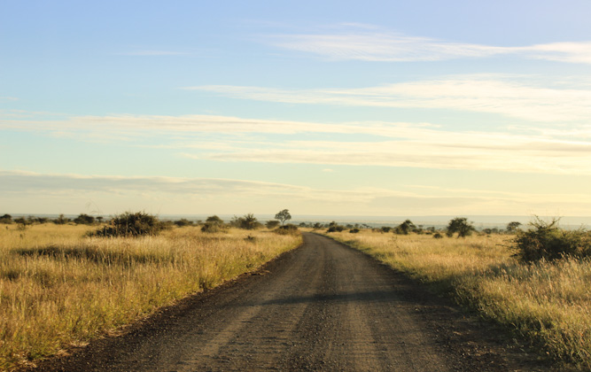
This is a route favoured by the guides of Satara Rest Camp, making it a great choice for a self-drive as well. Although the vegetation gets bushy at times, you’ll enjoy being surrounded by flat plains for the most part. The S100 runs along the N’wanetsi River and is probably the most popular road in the central regions.
Animals
There are regular reports of leopard, lion, elephant and buffalo along the S100.
Attractions
Gundzani Dam is not only a beautiful sight, right beside the road, but it’s also a favoured drinking spot for a lot of the animals in the area.
GPS coordinates: -24.365237, 31.922665
Getting there
From Satara, drive out to the four-way stop and then turn left onto the H1-4. Follow this road north for 7km and turn right onto the S90. After 13km you’ll see the right turn onto the S41/Gundzani Road and after another 17km you can turn right onto the S100. When you get back to the H1-3, turn right to get back to camp.
Total distance
The entire loop, from Satara and back again is 60km.
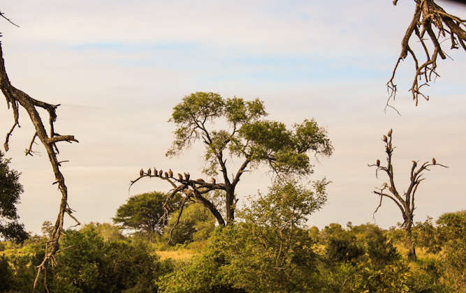
8. S91 and S92 – Olifants River Loop
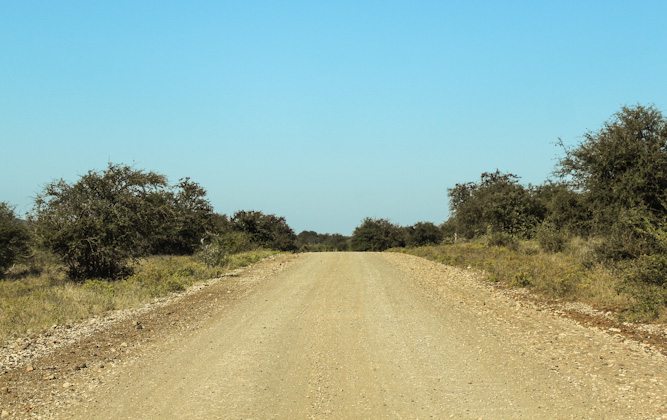
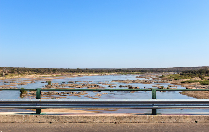
When you’re staying at Olifants Rest Camp, life pretty much revolves around the Olifants River, so when you’re not spending your time at the high-level bridge just north of the camp, you can follow this loop running along a narrower section in the river. Because of the riverine vegetation, the bush tends to be quite thick, but several small inclines will afford nice views across the bush.
Animals
You are likely to see fish eagles, lion and leopard are common, while elephant, buffalo, giraffe and waterbuck are almost guaranteed.
Attractions
Heading north along the H1-5 to get back to camp, you’ll pass by N’wamanzi Lookout and it’s well worth the stop to take advantage of the opportunity to stretch your legs and try and spot some animals in the river.
GPS coordinates: -24.017224,31.66749
The high-level bridge crossing over Olifants River is not to be missed. You’ll have to pass the turnoff heading back to camp, but it’s well worth it.
GPS coordinates: -24.013853, 31.651611
Getting there
From Olifants Rest Camp, drive 3km out on the H8 and turn left onto the S92. After 7km it becomes the S91 and this will bring you back to the H1-5. Turn right to reach the road heading back to camp.
Total distance
The total distance of the S91 and S92 together is 12km.
9. S95, S47, S62
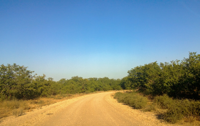
Although these three roads don’t make a continuous loop, put together, they form a nice early morning drive from Letaba Rest Camp. The S95 and S47 both run along the Letaba River up to a beautiful viewpoint while the S62 will bring you to a bird hide and lookout point.
Animals
Lion, elephant and buffalo are regularly seen along the S47 while hippo and crocodile enjoy the dams along the S62
Attractions
The Mingerhout Dam Lookout can be found along the S47, and although you’re a little bit far from the action, the dam below is pretty impressive.
GPS coordinates: -23.760681,31.499519
A wonderful spot to find peace, Matambeni Bird Hide overlooks the massive Engelhard Dam. It lies down a 3km dirt road turning off from the S62 – no buses and caravans.
GPS coordinates: -23.83824, 31.61306
Longwe Lookout can be found right at the very end of the S62 and offers quite impressive views across the bush as it sits high up on a hill.
GPS coordinates: 23.82967, 31.64229
Getting there
From Letaba, drive out to the four-way stop and then turn right onto the H1-6. Head north for 3km and turn right onto the S95. This road will cross back over the H1-6 and become the S47. Follow it for 14km and turn right at the T-junction to get to Mingerhout Dam. Now retrace your steps to get back onto the H1-6. Head north for 1.5km and turn right onto the S62. When you’ve reached the end, turn around and come back.
Total distance
The S95 is 4km in length, the S47 is 13.5km in length and the S62 is 10km in length.

10. S50, S143, S144
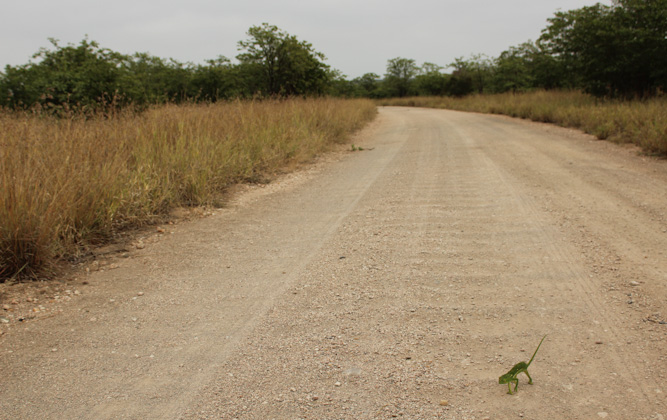
This is a nice drive for when you’re staying at Mopani Rest Camp. Although this area of the park isn’t well known for its animals, these roads will take you past a whole range of waterholes – the best possible place to spot activity, especially in the dryer winter months.
Animals
You can look out for elephants around the larger dams and also keep an eye out for hippo, crocodile and water birds when you’re close to water. Tsessebe enjoy the grassy areas while giraffe, zebra and elephant enjoy the mopane shrubs also found along these rounds.
Attractions
The Tihongonyeni Waterhole is a popular meeting place for antelope and other grazers and it’s well worth a stop, especially seeing as it’s right beside the S143.
GPS coordinates: -23.43679, 31.43550
Getting there
From Mopani, follow the road out and turn right at the T-junction onto the H1-6. After 13km you’ll see the turnoff to the left for the S50. After 15km, turn left onto the S143. After another 15km, turn left onto the S144, meet back up with te H1-6 and follow it south until you reach camp.
Total distance
The entire drive from Mopani and back is about 60km in length
