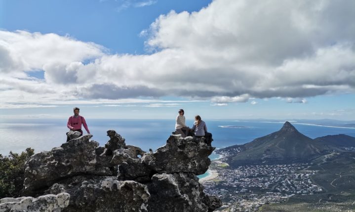
With the growing popularity of hiking in the Mother City, you might find yourself getting scorched waiting for the congestion to pass on Platteklip Gorge. But there are trails aplenty when it comes to our favourite flat-topped mountain, so here’s a selection of routes that aren’t Platteklip to get you to the upper cable car station.
India Venster
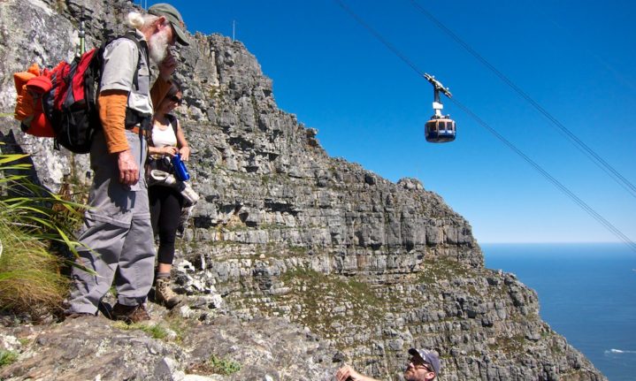
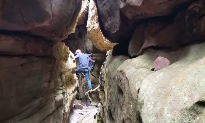
Not far off from Platteklip Gorge and taking you along the ledge just below the upper cable cart station, India Venster makes for a more exhilarating hike, but not recommended if you are afraid of heights.
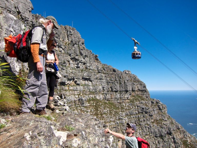
Picture: Flickr Commons/ Stephen A. Wolfe
The route is not clearly marked on some parts with a few scrambling sections that require some climbing. It’s not too hectic, but the steep ascent and jaw-dropping views can be intimidating, so it’s recommended to hike with someone who knows the route.
Duration: 6-7 hours return
Elevation: 794 m
Distance: 5.8 km
Skeleton Gorge
This route is a good alternative for those hot, sunny days as you will be mostly protected by the forest canopy in the gorge and the ice-cold water from the streams a welcome respite from the heat.
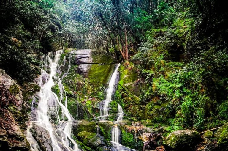
Picture: Getaway Gallery
After decent rainfall, the several small waterfalls along the route can be in full flood, but just be careful because the trail can get slippery. Skeleton Gorge takes ends at the Hally Hutchinson dam, where you can dip your toes if you need to cool down on a warm day.
You are not at the top of Table Mountain, yet, however. Continuing on towards Maclears Beacon, you can make your way across the plateau to the upper cable car station, or take an alternative route down.
Duration: 4-5 hours return
Elevation: 611 m
Distance: 5 km
Constantia Nek
Taking the winding jeep track may make for a less gruelling climb but don’t underestimate the trail, it’s still steep enough to feel the burn in your legs.
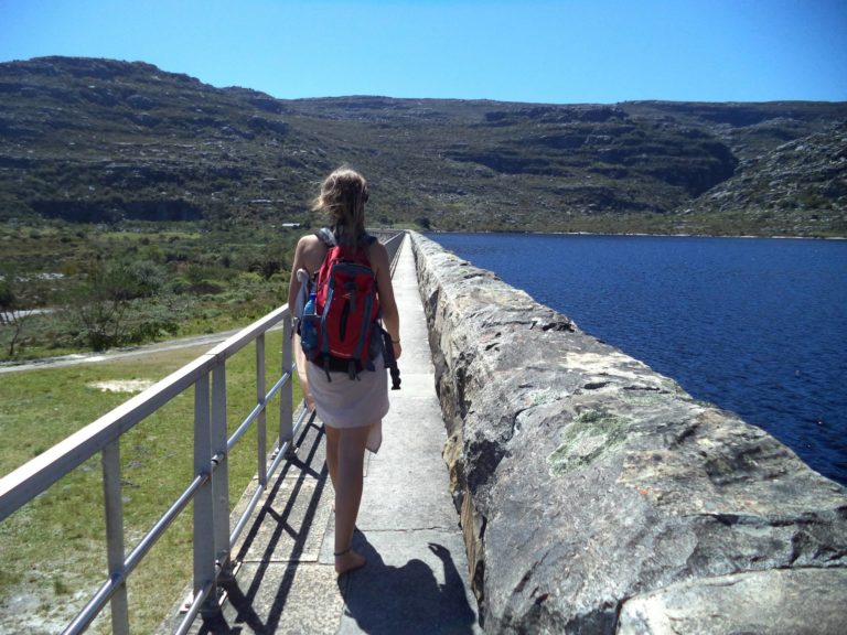
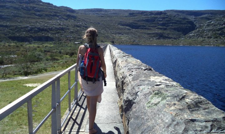
This route takes you across the dam wall and past the Waterworks Museum on top of Table Mountain. Picture: David Henning
This scenic trail will give you views of the interior on your way up, giving way to a leisurely walk past three of the reservoirs on Table Mountain. You will walk across the dam wall of the Hely Hutchinson Reservoir where you can catch your breath while learning about the construction of the reservoir at the Waterworks Museum.
From here, you’ll need some basic navigation skills because the trail isn’t clearly marked. Continuing along the jeep track from the museum, take a right onto the central table path through the Valley of Isolation – if you reach the Scout Hut, you’ve gone too far.
This will take you towards Smuts Track where you’ll take a left towards the upper Cable Car station. If you are still feeling motivated, you can hike down Platteklip Gorge or India Venster, otherwise you can glide back down with the cable car.
Duration: 2-3 hours up
Elevation: 1 090 m
Distance: 10 km
Corridor Ravine via Tranquility Cracks
Starting at Theresa Avenue in Camps Bay, you’ll connect with the Pipe Track, which you follow in the direction of Hout Bay. The trail will eventually veer left into a wide valley and you simply follow the ascent up.
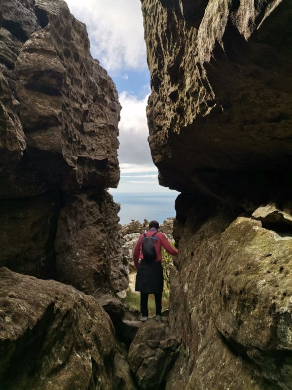
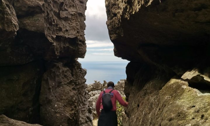
Tranquillity Cracks: Picture: David Henning
You can’t go wrong once you are on the path. It’s finding the Tranquility Cracks that is challenging because you don’t know it’s there until you’ve found them.
Once you’ve reached the top, walk towards the cable car station for a few minutes and a small, discrete pathway through the fynbos will lead you towards the cracks. It can still be a challenging find, so it’s recommended to go with someone who knows the route.
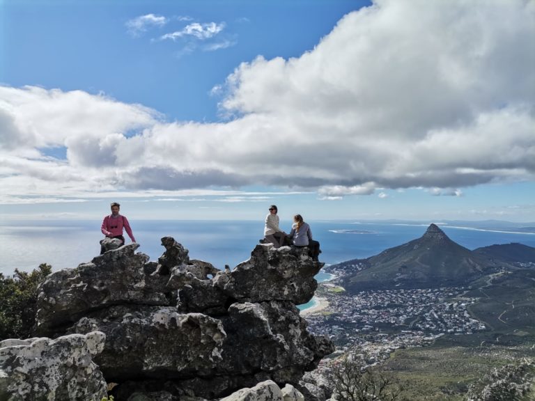
From there, it’s a straightforward, mostly flat walk along the Twelve Apostles trail that also passes the diving board towards the upper cable car station. The route is a great choice for a late afternoon hike to catch the sunset (if the wind isn’t blowing). Take the car down or return the same way you came up.
Duration: 3-4 hours up
Elevation: 800 m
Distance: 6-7 km
ALSO READ
See how many species you can find with SANBI’s City Nature Challenge

