Last year, I asked readers for any tips and information on the state of the roads in western Tanzania. Having very recently driven a clockwise loop around the country, I can give you a fair account of what to expect if you wish to do something similar.
We drove into Tanzania from Mpulungu in Zambia and headed north west along the B8 towards Kigoma on Lake Tanganyika in Tanzania. The 853-kilometre journey from Mpulungu to Kigoma took us approximately 22 hours in total. Here’s a overview:
From Mpulungu to the Zombe border
The mud road is in shocking condition and is not negotiable at any speed faster than 20 kilometers per hour. We had planned to visit the Kalambo Falls on the Zambia-Tanzania border, but quickly changed our minds because of the state of the road, which is bumpy and full of potholes and corrugation from recent rains.

Zombe border post to Sumbawanga in Tanzania
We had been told that the road along this stretch was brand new, but instead experienced a “new tar road” that was very much still a work-in-progress. The stretch consists of sporadic tarred sections with average, winding dirt detours in between. We averaged about 50 km per hour on this leg and the total time it took us to complete it (including border crossing formalities) was five hours. Just note that this only includes the formalities at the actual border crossing (a second exit stamp on the Zambian side and customs and immigration on the Tanzanian side). To exit Zambia, stops in both Mpulungu (Customs) and Mabala (immigration) were required.
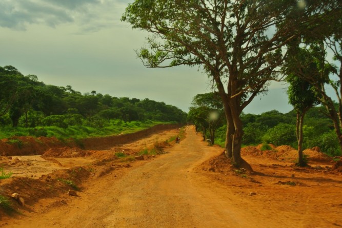
Sumbawanga to Katavi National Park
The first 10 kilometres of road is experiencing roadworks and will eventually be tarred. The road was bumpy, but doable. The next 10 kilometres were in a terrible state and we averaged about 30-35 km/hour. The next stretch from Chala onwards was somewhat better and our average speed had climbed to between 50 and 65km per hour.
Katavi National Park
The B8 “highway” dissects the Katavi National Park, and almost immediately after entering the park, the roads deteriorate rapidly. The road is generally full of potholes and after rain you’ll need to watch out for mud patches. There are some intermittent stretches in between the potholes that are okay, but as soon as you feel confident, you hit another compromised section. We had driven to Katavi all the way from Mpulungu in one go. At this stage, this isn’t advisable. It was getting dark when we eventually reached Katavi National Park and it was difficult to see the bad sections of road. A stopover in Sumbawanga is more advisable.
Katavi to Uvinza
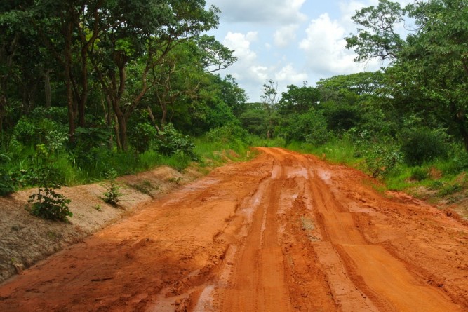
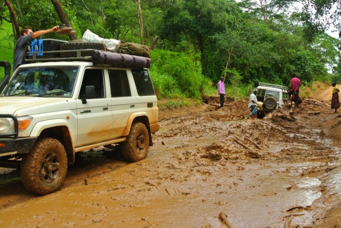
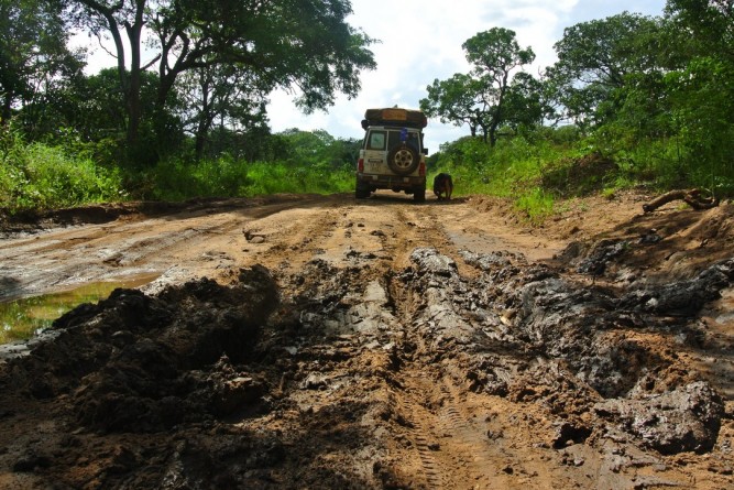
This part of the journey was defined by long stretches of mud road through sparsely inhabited forests. The roads were bad and there was no sign of the tar roads that people had spoken of. There were lots of mud puddles and I wouldn’t advise travelling along this road during or after the rains. At one point we were required to make a hairy detour through the forest because the road was impassable and on another, we got stuck in the mud.
Uvinza to Kigoma
Embarrassingly, we missed a new, direct piece of tar linking these two towns and instead drove the old route, which is essentially a 140-kilometre detour via the town of Kanyani. The roads comprised compacted mud but were generally in a better state than some of the other mud roads we’d travelled on. We averaged about 60 km per hour along this section and were spoilt with some decent tar for the last 20 kilometres of the trip. However, even if the roads are decent, because of the numerous, potential road hazards (cows, goats, chicken, bicycles, children), I wouldn’t travel much faster than 70 km per hour.
By the end of the journey we were exhausted and a little stressed, but waking up in the most incredible setting made the entire journey seem well worth the stress and effort.
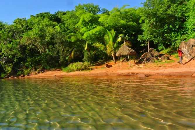
The reason we braved the roads
Related Figuring out Tanzania

